Apamduööt:Location South Sudan AU Africa.svg

Size of this PNG preview of this SVG file: 646 × 600 kolook. Tïckatïŋ kɔ̈k: 258 × 240 kolook | 517 × 480 kolook | 827 × 768 kolook | 1,103 × 1,024 kolook | 2,206 × 2,048 kolook | 1,400 × 1,300 kolook.
Makec tueŋ (Apamduööt SVG, yee kolookë ke aayee 1,400 x 1,300, dït de apamduööt: 1.64 MB)
Cuutyic
| Lëkcäät |
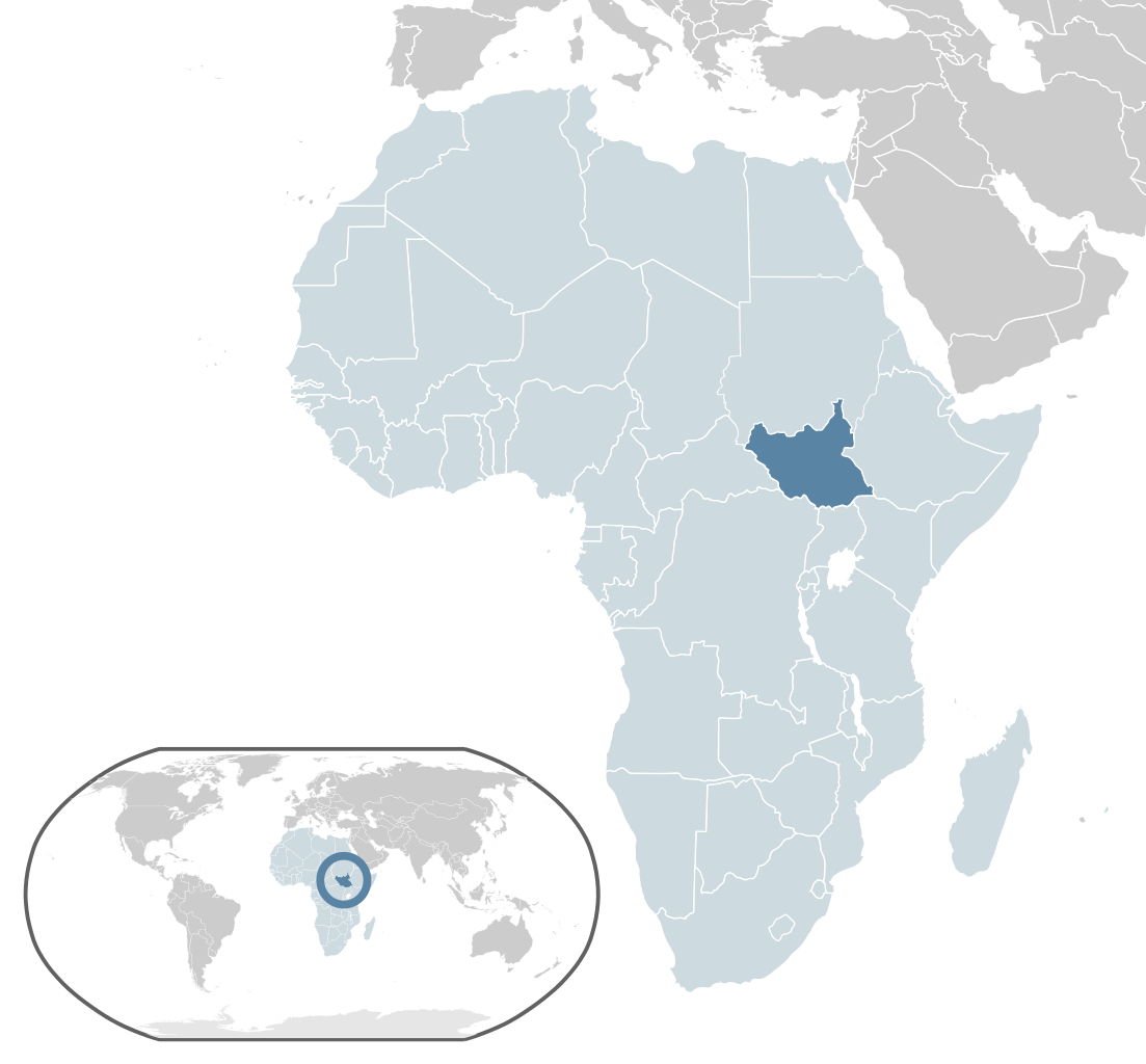
English: Depiction of South Sudan's boundaries and location within the African continent. |
| Aköl | |
| Tënëyök | Modified from Location Sierra Leone AU Africa.svg |
| Agɔ̈t | Wikipedia author Alvaro1984 18 |
| SVG genesis |
Gɛmluɔ̈ɔ̈i
| This file is made available under the Creative Commons CC0 1.0 Universal Public Domain Dedication. | |
| The person who associated a work with this deed has dedicated the work to the public domain by waiving all of their rights to the work worldwide under copyright law, including all related and neighboring rights, to the extent allowed by law. You can copy, modify, distribute and perform the work, even for commercial purposes, all without asking permission.
|
Käthɛɛr ë makec
Tuenyë në aköl/akɔ̈licic apamduööt ɣoi kecit rɔt nyuɔɔth në akölic.
| Aköl/Akɔ̈lic | Riöpbundït | Thëmthëm | Dului | Këcïjaamic | |
|---|---|---|---|---|---|
| ee mënë | 06:43, 17 Pɛnërou 2017 | | 1,400 × 1,300 (1.64 MB) | Chipmunkdavis | Updating Morocco |
| 21:51, 3 Pɛnëdhoŋuan 2011 |  | 1,400 × 1,300 (1.56 MB) | Ke6jjj |
Luɔi ë apamduööt
Cin apaam ye nuët lɔ wëtmätkën.
Luui ë yɔ̈rcïduut de pinynhom
Wiki kɔ̈k bɔ̈ looi makec kënë
- Luɔi af.wikipedia.orgic
- Luɔi arc.wikipedia.orgic
- Luɔi az.wikipedia.orgic
- Luɔi be.wikipedia.orgic
- Luɔi bg.wikipedia.orgic
- Luɔi bn.wikipedia.orgic
- Luɔi ca.wikipedia.orgic
- Luɔi cdo.wikipedia.orgic
- Luɔi chr.wikipedia.orgic
- Luɔi el.wikipedia.orgic
- Luɔi en.wikipedia.orgic
- Luɔi eo.wikipedia.orgic
- Luɔi fa.wikipedia.orgic
- Luɔi fi.wikipedia.orgic
- Luɔi fr.wikipedia.orgic
- Luɔi gu.wikipedia.orgic
- Luɔi hak.wikipedia.orgic
- Luɔi ha.wikipedia.orgic
- Luɔi hi.wikipedia.orgic
- Luɔi hu.wikipedia.orgic
- Luɔi ilo.wikipedia.orgic
- Luɔi incubator.wikimedia.orgic
- Luɔi ja.wikipedia.orgic
- Luɔi kk.wikipedia.orgic
- Luɔi km.wikipedia.orgic
- Luɔi ko.wikipedia.orgic
- Luɔi lb.wikipedia.orgic
- Luɔi lt.wikipedia.orgic
- Luɔi lv.wikipedia.orgic
- Luɔi mk.wikipedia.orgic
- Luɔi mr.wikipedia.orgic
- Luɔi my.wikipedia.orgic
- Luɔi mzn.wikipedia.orgic
- Luɔi ne.wikipedia.orgic
- Luɔi olo.wikipedia.orgic
- Luɔi pl.wikipedia.orgic
Tïŋ luui de tëriëcëbɛ̈n juëckɔ̈k de apamduööt kënë.