Apamduööt:COL orthographic (San Andrés and Providencia special).svg

Size of this PNG preview of this SVG file: 550 × 550 kolook. Tïckatïŋ kɔ̈k: 240 × 240 kolook | 480 × 480 kolook | 768 × 768 kolook | 1,024 × 1,024 kolook | 2,048 × 2,048 kolook.
Makec tueŋ (Apamduööt SVG, yee kolookë ke aayee 550 x 550, dït de apamduööt: 1.09 MB)
.svg)
Cuutyic
| Lëkcäät | |
| Aköl | |
| Tënëyök | Luɔ̈igup |
| Agɔ̈t | Addicted04 |
| SVG genesis |
Gɛmluɔ̈ɔ̈i
I, the copyright holder of this work, hereby publish it under the following license:
Apamduööt kän anɔng anyoothluɔi në anyoothluoɔi Creative Commons Attribution-Share Alike 3.0 Unported cök.
- Yïn launhom
- bë röm – bë luoi thuur, ku tekpiny ku tooc aɣeer
- bë bɛnlääp – bë looië jiɛlpiny
- Käbɔ̈kë cök
- abïcɔl – Të cï yïn lon ë raandɛ̈ luööi, ku wïc ba lueel ye ŋa ë lööm yïn luɔi thïn, ka dhil ba gɔ̈t në kuer gör yen ye, tëdɛ̈ ke kuer cï gɔ̈t në anyoothluɔic. Lakin, acie kuer lëu bï ye tak lɔn kɔ̈ɔ̈c yen raanë ke yï, tëdɛ̈ ka kääc ke të ̈cï yïn londe luööi thïn.
- röm acït – Të wɛɛr yïn lon känic amääth, tëdɛ̈ të löök yïn ee nyïn ëbɛ̈n në wëlku, tëdɛ̈ të juɛk yïn ee nhom në wëlkɔ̈k, ka kë bë bɛ̈nbei thïn alëu ba tɛkpiny, të buɔɔth yïn anyoothluɔi kän cök wälä anyoothluɔi dɛ̈t thöŋ ke ye.
Käthɛɛr ë makec
Tuenyë në aköl/akɔ̈licic apamduööt ɣoi kecit rɔt nyuɔɔth në akölic.
| Aköl/Akɔ̈lic | Riöpbundït | Thëmthëm | Dului | Këcïjaamic | |
|---|---|---|---|---|---|
| ee mënë | 08:55, 6 Pɛnëtök 2015 | | 550 × 550 (1.09 MB) | Denniss | Reverted to version as of 22:05, 19 July 2014 |
| 06:52, 6 Pɛnëtök 2015 |  | 470 × 450 (86 KB) | Mondolkiri1 | Mapa da Colômbia na UNASUL / Mapa de Colombia en UNASUR | |
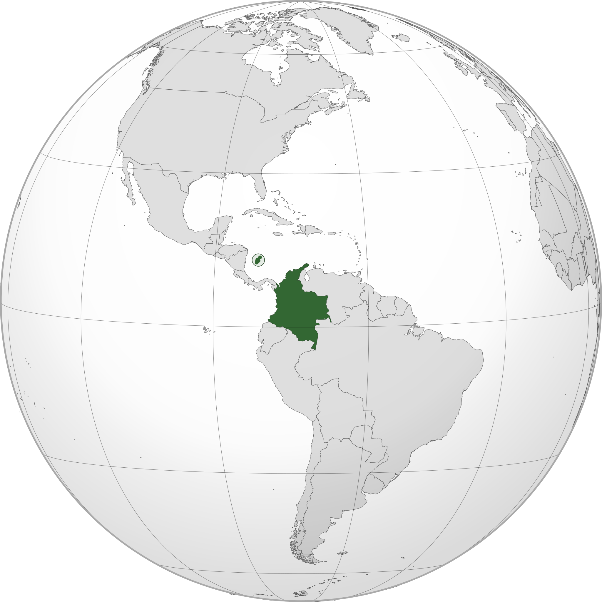
| 00:05, 20 Pɛnëdhorou 2014 |  | 550 × 550 (1.09 MB) | Roboting | El Archipiélago de San Andrés, Providencia y Santa Catalina: Son un territorio oficial de Colombia. | |
| 17:50, 15 Pɛnëtök 2014 |  | 550 × 550 (1.09 MB) | Addicted04 | User created page with UploadWizard |
Luɔi ë apamduööt
Apam thöökë anuɛ̈tke apamduöötë:
Luui ë yɔ̈rcïduut de pinynhom
Wiki kɔ̈k bɔ̈ looi makec kënë
- Luɔi ami.wikipedia.orgic
- Luɔi ang.wikipedia.orgic
- Luɔi arc.wikipedia.orgic
- Luɔi ar.wikipedia.orgic
- كولومبيا
- بوابة:كولومبيا
- بوابة:كولومبيا/واجهة
- مستخدم:جار الله/قائمة صور مقالات العلاقات الثنائية
- معاملة المثليين في كولومبيا
- العلاقات الأمريكية الكولومبية
- العلاقات الأنغولية الكولومبية
- العلاقات الكورية الجنوبية الكولومبية
- العلاقات الإريترية الكولومبية
- العلاقات السويسرية الكولومبية
- العلاقات الألمانية الكولومبية
- العلاقات الكولومبية الليختنشتانية
- العلاقات البوليفية الكولومبية
- العلاقات الكولومبية الموزمبيقية
- العلاقات الألبانية الكولومبية
- العلاقات البلجيكية الكولومبية
- العلاقات الإثيوبية الكولومبية
- العلاقات البيلاروسية الكولومبية
- العلاقات الطاجيكستانية الكولومبية
- العلاقات الروسية الكولومبية
- العلاقات الرومانية الكولومبية
- العلاقات الأرجنتينية الكولومبية
- العلاقات الغامبية الكولومبية
- العلاقات القبرصية الكولومبية
- العلاقات السيراليونية الكولومبية
- العلاقات الكولومبية النيبالية
- العلاقات الكولومبية الليبيرية
- العلاقات التشيكية الكولومبية
- العلاقات الكولومبية الميانمارية
- العلاقات العراقية الكولومبية
- العلاقات البريطانية الكولومبية
- العلاقات الكندية الكولومبية
- العلاقات الكوبية الكولومبية
- العلاقات الكورية الشمالية الكولومبية
- العلاقات الكوستاريكية الكولومبية
- العلاقات الكولومبية المالية
- العلاقات الكولومبية النيجيرية
- العلاقات الكولومبية الناوروية
- العلاقات الكولومبية اللاتفية
- العلاقات الكولومبية اللوكسمبورغية
- العلاقات الكولومبية المصرية
- العلاقات الكولومبية الهندوراسية
- العلاقات الكولومبية الليسوتوية
- العلاقات الكولومبية النيكاراغوية
- العلاقات الكولومبية المولدوفية
- العلاقات الكولومبية المالاوية
- العلاقات الكولومبية الكينية
Tïŋ luui de tëriëcëbɛ̈n juëckɔ̈k de apamduööt kënë.
.svg)
.svg)